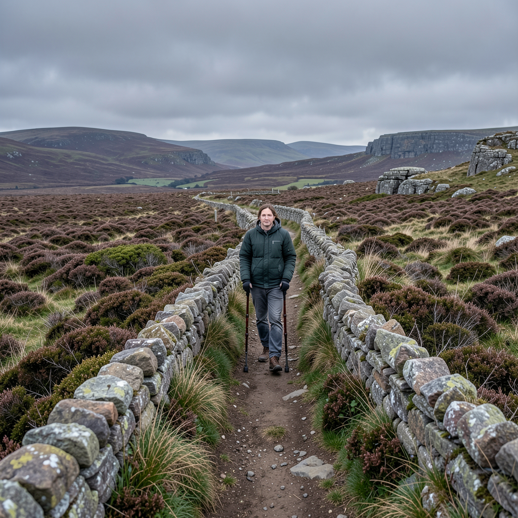

The Yorkshire Dales landscape offers numerous opportunities for walkers seeking solitude, though none quite match the isolation found at Riggs Moor on the border between the National Park and Nidderdale.
This location represents what many consider the most secluded point in England, situated in an area where access roads become increasingly sparse and the surrounding moorland stretches uninterrupted in every direction.
The journey to this remote destination begins at Conistone, a picturesque village where vehicles can be parked beside the bridge crossing the River Wharfe.
From this starting point, the route proceeds through the village green, heading east past the stables to locate Conistone Dib, a striking example of a dry limestone valley carved into the local geology.
The initial section requires navigation over uneven rocky steps before the terrain opens out near Gurling Trough, where the path becomes gentler and more manageable on grassy ground.
A final challenging ascent along an eroded section brings walkers to the valley’s conclusion, an atmospheric location well worth the effort required to reach it.
Upon exiting the dib, the Dalesway path provides access to the surrounding countryside.
After proceeding through two gates and reaching a junction where multiple routes converge, the walk turns eastward onto a significant track.
Almost immediately, one of the most impressive limestone pavements in the Dales becomes visible on the left-hand side, though exploration of this geological feature should be brief since considerable distance remains to be covered.
The following two-and-a-half miles follow a bridlepath designated as Bycliffe Road.
The route initially climbs uphill in an eastward direction before descending into the extensive Bycliffe wetland basin.
Along this section, Mossdale Scar comes into view on the left, a limestone outcrop that conceals a network of caves with a tragic history.
In 1967, six cavers became trapped within these underground passages and perished, an event that remains one of the most significant disasters in British speleological history.
The track continues to a shooting lodge situated at Mossdale, a convenient location for rest and refreshment.
Beyond this point, the walk undergoes a significant change in character as the maintained path gives way to rougher, largely unmarked moorland terrain.
One option for navigating this section involves heading southeast uphill, passing several shooting butts before reaching a fence line approximately half a mile distant.
The presence of these butts has resulted in the formation of a discernible path, simplifying what would otherwise be more challenging navigation.
Walkers should not expect to encounter the tarn marked on Ordnance Survey mapping as Priests Tarn.
Despite its prominent cartographic representation, this body of water barely exists even following periods of significant rainfall, a situation apparently resulting from local land management practices.
Upon reaching the fence, the route turns left and climbs for roughly half a mile to a junction where another fence meets the path.
A second left turn orients walkers toward the mass of Great Whernside, with approximately three-quarters of a mile of wild moorland remaining before reaching a section of boggy ground where the Sandy Gate stile and bridlepath converge.
This stile should not be crossed, as it leads toward Upper Nidderdale.
Instead, the correct route continues northward alongside the fence, ascending gradually.
After approximately 150 metres, a boundary stone appears on the eastern side of the fence, and a similar distance further on, a small cairn of stones sits atop a peat hag.
While the precise location of the remotest point may lie slightly to the north and east of this marker, it serves as a reliable indication of proximity to the most isolated location in England, situated precisely on the boundary between Yorkshire Dales National Park and Nidderdale.
The return journey follows the same bridlepath to Sandy Gate, where the route connects with a bridleway leading back toward the shooting lodge.
This path proves difficult to trace in certain sections, though a series of blue-painted poles provide navigational assistance.
Should the route become unclear, descending to the river bank and turning left provides a reliable fallback, with the river ultimately leading back to the main track.
The return journey retraces the two-and-a-half mile section previously traversed before rejoining the Dalesway near the point where the outward route began.
The wetlands of the basin support diverse birdlife, including curlews whose distinctive calls provide an atmospheric accompaniment to this section of the walk.
Rather than descending through the rocky dib to Conistone on the return, walkers may prefer to remain on the main track heading northward, a more straightforward option following an extended expedition.
The complete circuit covers approximately 11.5 miles and involves climbing around 480 metres in total elevation.
The starting point at grid reference SD 978675 offers parking facilities on the bridge approach to Conistone.
The expedition carries a hard rating due to its length and the nature of the terrain encountered.
While the initial section toward Mossdale follows a well-constructed track, the moorland beyond becomes genuinely remote and presents awkward navigation challenges.
Refreshment opportunities exist at the Kilnsey Trout Farm café or the Tenants Arms hotel.
Walkers must carry and be capable of reading the OL2 Ordnance Survey map, and a compass becomes essential equipment when visibility is reduced through cloud or mist.
Appropriate clothing and sturdy footwear designed for outdoor conditions remain prerequisites for undertaking this route safely.