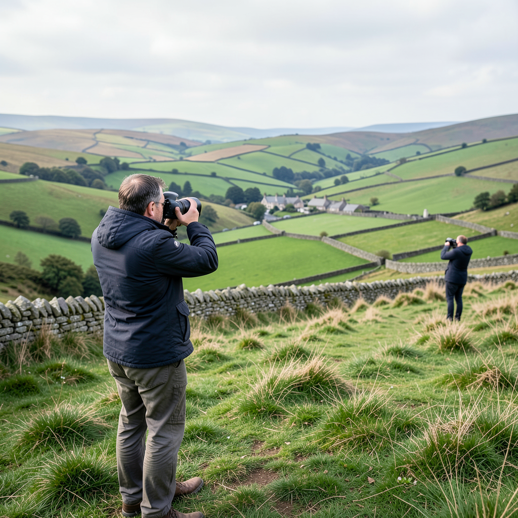

Derry Brabbs emerged as a prominent figure in landscape photography following the publication of James Herriot’s Yorkshire, a volume that brought significant attention to the rugged terrain celebrated throughout the beloved veterinary tales.
Building on this breakthrough, Brabbs established himself as a prolific author, producing numerous works focused on countryside vistas, walking routes, and historical sites across the region.
The photographer, a resident of Nidd in the vicinity of Ripley, entered the world in 1947.
To commemorate Yorkshire Life magazine’s eightieth anniversary, Brabbs was invited to select a collection of his personal favourite photographs capturing the county’s distinctive character.
Regarding his craft, he has explained that working in natural settings offers an expansive outdoor studio environment, though one lacking convenient controls for adjusting conditions.
Modern meteorological tools allow photographers to assess whether lengthy nocturnal journeys might prove worthwhile.
The most striking photographs emerge from unexpected atmospheric circumstances.
Optimal results require sunlight arriving at low angles to illuminate traditional stone boundaries, structures, and ground textures.
Despite technological advances in prediction, natural phenomena continue to deliver unforeseen moments.
Brabbs achieved international recognition by documenting Yorkshire’s countryside through his acclaimed volume James Herriot’s Yorkshire, which first appeared in 1979.
The work showcased vistas that had been immortalised through the fictional veterinary narratives set across the region.
In the Wensleydale area, the landscape surrounding Hawes and Gayle features traditional stone agricultural buildings essential to hill farming operations and their livestock.
While summer months offer agreeable conditions, the harsh winter environment posed significant challenges for veterinary practitioners attempting to reach sick animals prior to the widespread availability of four-wheel-drive transportation.
Malham Cove represents a substantial natural limestone formation that historically contained a remarkable waterfall but now features only a modest stream emerging from its base.
The location remains readily accessible from the village itself, with a staircase constructed from stone ascending one flank to permit visitors to reach the elevated plateau.
Adjacent to the cove lies an irregular limestone surface with vegetation somehow surviving through the demanding ground conditions.
Despite presenting navigational difficulties, the site ranks among the most visually striking destinations in the area.
Keld occupies a small isolated settlement in Upper Swaledale, situated within the Yorkshire Dales National Park.
Despite its remote positioning, the village has gained prominence as a customary stopping point for hikers traversing the Pennine Way, which stretches from Derbyshire’sPeak District to the Scottish border, as well as those following Alfred Wainwright’s Coast to Coast route.
The Yorkshire Dales National Park encompasses both Wensleydale and Swaledale, incorporating an extensive network of traditional dry-stone boundaries and agricultural structures that serve to contain and protect the local sheep population throughout the year.