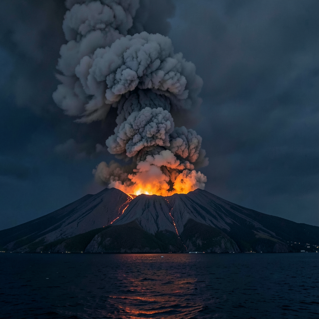

Indonesian aviation operations suffered significant disruption on Sunday, September 6, following a volcanic explosion that dispersed ash across multiple regions and prompted the temporary closure of several major airports.
The incident involved Anak Krakatau, an active volcano situated in the Sunda Strait between Java and Sumatra.
The geological event commenced at 3:53 in the morning and persisted for approximately half a minute.
Measurements recorded by Indonesia’s Geological Agency provided these data.
Surveillance cameras captured imagery of molten material erupting from the volcanic summit.
Despite the scale of the eruption, authorities reported no fatalities and refrained from issuing evacuation orders.
The closest inhabited area remained located beyond sixteen kilometres from the volcanic site.
Official guidance instructed both local residents and tourists to maintain a minimum distance of three kilometres from the crater’s immediate vicinity.
Atmospheric contamination spread across Jakarta and the Lampung region located at Sumatra’s southern extremity.
Indonesia’s volcanology and geological hazard mitigation authority documented this spread.
The ash dispersal necessitated widespread flight cancellations and airport shutdowns.
AirNav Indonesia restricted airspace access at Soekarno-Hatta International Airport and Halim Perdanakusuma Airport within the capital, alongside four additional facilities including Radin Inten II Airport in Lampung.
By the afternoon, operational data indicated that five hundred sixteen aircraft movements had been impacted, with two hundred two of those occurring at Soekarno-Hatta alone.
The number of travellers experiencing disruption on that day reached approximately twenty-two thousand eight hundred.
Soekarno-Hatta received instruction to remain non-operational until at least half past five in the evening.
Indonesia’s civil aviation directorate general announced ongoing surveillance of the volcanic event’s effects on aerial transportation.
Coordination efforts involved multiple carriers, airport administrations, air traffic management services, and meteorological organisations.
Lukman F Laisa, the ministry of transportation’s civil aviation director general, stated that operational security remained the primary consideration in all decision-making.
He indicated that subsequent flight schedules might experience cascading delays affecting aircraft scheduling, fleet deployment capabilities, and terminal throughput as carriers worked to restore standard services.
Satellite observation conducted jointly by Indonesia’s volcanology agency and the Darwin Volcanic Ash Advisory Centre detected two distinct plumes of volcanic material.
The initial column ascended to an altitude of six thousand one hundred metres and progressed northeastward across Jakarta, Banten, West Java, and surrounding maritime zones.
A secondary formation reached considerably greater height at fifteen thousand two hundred metres, dispersing across sections of Banten, Lampung, and Bengkulu provinces, the southern Sunda Strait, and portions of the Indian Ocean west of Sumatra.
The British government subsequently issued advisories cautioning United Kingdom nationals regarding travel risks within certain Indonesian territories.
Prohibition on visitation was advised for proximity to numerous volcanic formations: Mount Lewotobi Laki-Laki on Flores within seven kilometres of its crater; Mount Sinabung in North Sumatra within five kilometres; Mount Marapi in West Sumatra within three kilometres; Mount Semeru in East Java within five kilometres of the crater and extending five hundred metres from the Besuk Kobokan riverbank across a thirteen-kilometre radius from the summit; Mount Ruang in Northern Sulawesi within seven kilometres; and Mount Ibu in North Maluku Province within seven kilometres.
Lana Saria, who heads Indonesia’s geological agency, observed that volcanic activity at Anak Krakatau had intensified since July, with the September eruption representing the most powerful manifestation during the current phase of heightened behaviour.
Recurring explosive episodes suggested ongoing subterranean accumulation of magma and volcanic gases, though precise forecasting of potential larger-scale events remained beyond current scientific capability.
She indicated in a video briefing that monitoring efforts would continue drawing upon comprehensive data streams rather than relying exclusively on eruption frequency or plume measurements.
Primary threats identified included ash contamination, elevated gas concentrations, and ballistic ejection of heated rock fragments within the crater zone.
The designation Anak Krakatau translates to child of Krakatau, referencing the volcanic edifice that emerged from the legendary 1883 eruption capable of inducing global climatic effects.
A subsequent explosive event in 2018 generated a tsunami responsible for at least four hundred thirty deaths across Sumatra and Java.
Scientific investigation determined that geological activity triggered an underwater mass movement, causing substantial collapse of Anak Krakatau’s southwestern flank that displaced enormous quantities of water.
Post-eruption measurements confirmed the volcanic island had diminished to roughly one quarter of its former dimensions.